Montgomery Bell
Overview
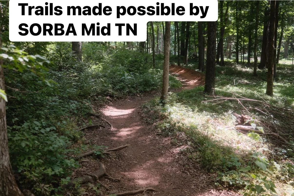
Montgomery Bell State Park (MBSP) offers a variety of physical challenges and at times technical trails built in the rolling terrain around Hayne Branch Creek. Lower traffic and better soil composition keeps MBSP open and in better shape than other trails in the area, particularly during the wet winter and early spring seasons. Well maintained by TN State Park officials and members of SORBA-MidTN.
Need To Know
Call the information line for MBSP for trail status any time of day of 615-797-9051 ext 118, or ask for mountain bike trail info.
Description
The trail is on the north side of TN Hwy. 70, across from the main park. Trailhead parking is located on Bill Duke Road; there is a small sign directing you toward it if traveling from the east.
As the map suggests, the trail network is quite convoluted, and there is no one official direction or way to travel. The only one way trail is the Green "downhill" trail. Yellow trail is recommended in a certain direction, but not required to ridden that way. Each blaze is subdivided into multiple trails; on this initial edition of the map they are not divided but the trails are well marked by vertical wooden signs. Also refer to the official trail map in the pictures to correlate to the ridden map above.
There are 5 blazes to the trails:
Red Trail: Beginner trail, with smooth tread and easy climbs. This also serves as the connecting trail that travels in a loop from the trailhead, past the white trails (if travelling clockwise), across a bridge over the creek to the junction of the Back Blue trail and the Green Downhill trail, down the expressway, back over the creek by one creek crossing and one bridge, then back to the trailhead. Total distance is 3.1 miles.
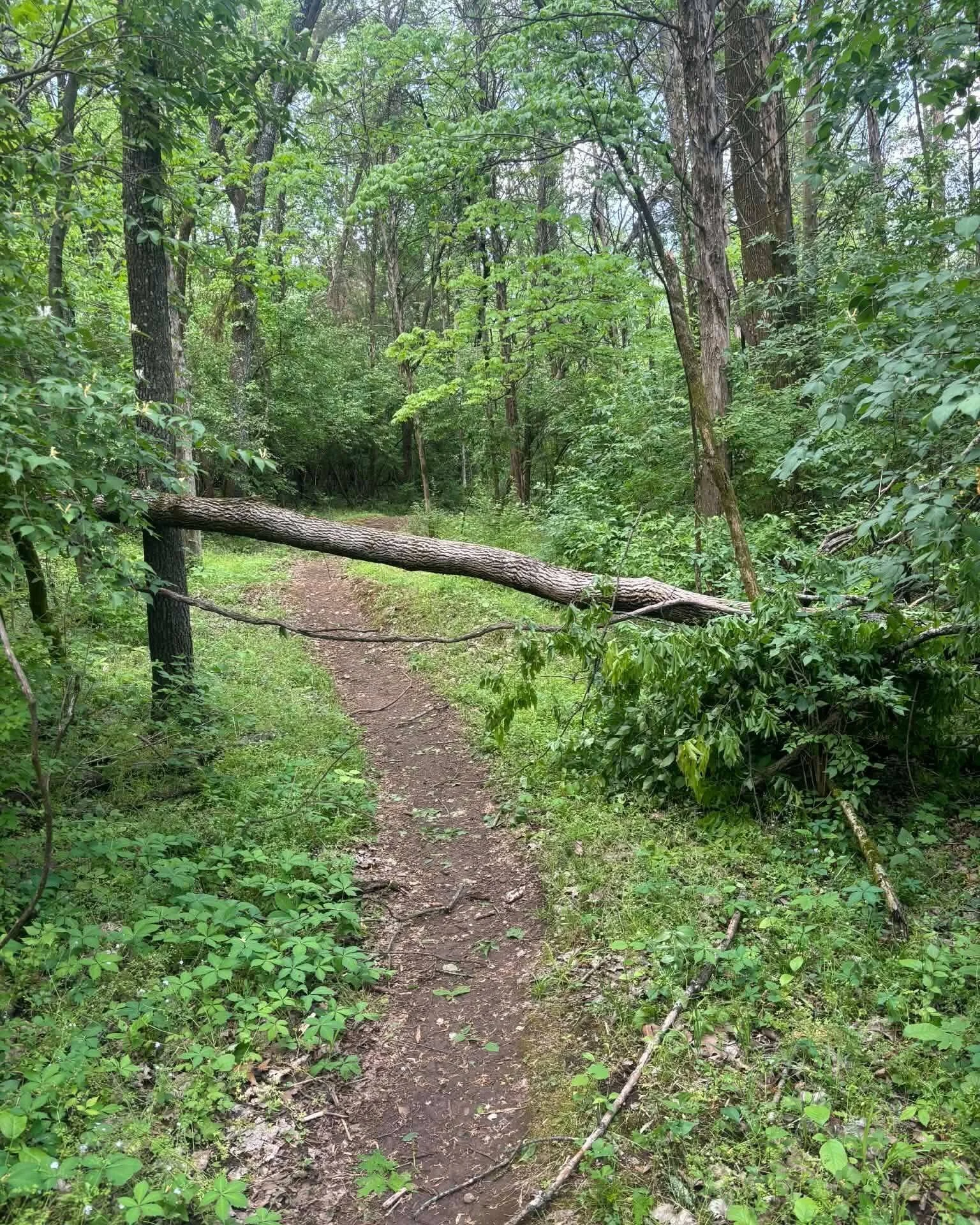
White Trail: Intermediate skill level, these are twisty, tight trails that travel through the north east side of the park. Tread is variable, depending on which loop you do. Rabbit Run and Storm Track are similar: tight turns, short punchy climbs, smoother tread. Storm track opens up in a couple places to let you get a little more speed. White Pines trail is a nice loop through dense Pine trees, with a some rocky tread in the middle. Hayne Branch Trail is the most difficult of the White Trail; it has 2 creek crossings (the first travelling from east to west is pretty tough to find a line), is very rocky and rooty in spots and has a few short but steep climbs. A great place for beginner/intermediate riders to work on technical climbs. Total mileage 3.7 miles.
Blue Trail: Intermediate trail. Overall similar to the White Trail, but with more climbs. Lonesome Blue is the only one on the north side of the creek; it can be looked at as an extension of Hayne Branch Trail, spatially and characteristically. Short technical climbs and lots of roots to navigate. Cat Track is a physically challenging, windy trail that has multiple dips and climbs; tread is smoother compared to other areas. Possum Trot, Peanut, Snake Bottom and BLue Yonder are all similar in that they have fairly smooth tread but moderately steep climbs that will give you a good workout. Back Blue is probably the most fun Blue trail. It follows parallel to the powerlines but remains in the woods, so it is still twisty. However, it is more straight and open than other trails listed to this point and you can get a little more flow here. Travelling east to west, it starts at the Red/Blue/Green junction and terminates at the west terminus of the red trail and at the Yellow entrance. Total blue trail length 4.3 miles.
Green and Yellow Trail: Rated advance compared to other trails in this network; the descriptions for those trails are tagged with those trails on the map. Total distance for those trails is 3.6 and 6.0 miles respectively.